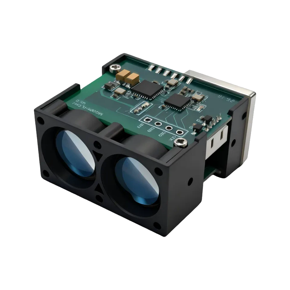
 33 × 34 × 18 mm
Short-range DToF
LRF100H
A 20 g, 33 × 34 × 18 mm industrial DToF LiDAR for wind-power, landslide and level monitoring — 0.05–100 m, 20 Hz–10 kHz output, 9–36 V DC and dual UART/I²C interfaces.
- Max range
- 0.05–100 m (90% refl.)
- Accuracy
- ±10 cm (<10 m); 1% (≥10 m)
- Weight
- 20 ± 2 g
- Interface
- UART / I²C
905 nm
Class 1 · IEC 60825-1
Wind power monitoring
Landslide & deformation monitoring
Material level detection
SPEC / SHEET
LRF100H · 905 nm
Technical specifications full sheet
| Laser wavelength | 905 nm |
|---|---|
| Ranging range | 0.05–100 m (90% refl.) · 0.05–30 m (10% refl.) |
| Measurement frequency | 20 Hz–10 kHz, default 1 kHz |
| Ranging accuracy | ±10 cm (<10 m) · 1% (≥10 m) |
| Repeatability | ±5 cm (<10 m) · ±10 cm @ 100 m |
| Ambient light immunity | 100 kLux |
| Laser safety class | Class 1 |
| Field of view | ≈ 4 mrad |
| Supply voltage | 9–36 V DC |
| Peak current | 100 mA |
| Average current | 30 mA |
| Average power consumption | 0.7 W |
| Interface | UART / I²C |
| Dimensions | 33 × 34 × 18 mm |
| Weight | 20 ± 2 g |
| Operating temperature | -20 to +60 ℃ |
| Wire specification | 1.25 mm, 5-pin, 50 cm stranded wires |
| Customization | Available in appearance / structure / output protocol |
Interface UART-TTL, 6-pin
| Pin | Signal | Description |
|---|---|---|
| 1 | 9–36V | External power + |
| 2 | Power GND | External power − |
| 3 | Port GND | Ground |
| 4 | TX | Host RX |
| 5 | RX | Host TX |
Application fit where it ships
Wind power monitoring
Landslide & deformation monitoring
Material level detection
Data is transmitted as a standard 8-byte UART frame (0x55 0xAA header, function code, four data bytes, checksum); distance is returned as the value ×10 for a one-decimal reading. A PC configuration tool and standard command set are available for integration.
RELATED
SAME SERIES · ADJACENT RANGE
Related modules
Other 905 nm modules near the LRF100H on series or reach.
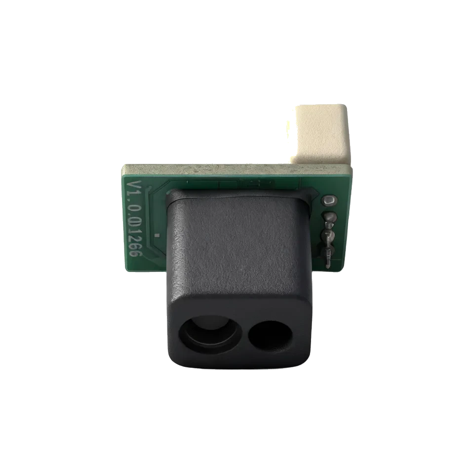
Short-range DToF
LRF10VB
Range0.05–9 m (90% refl.)
Accuracy±5 cm (<5 m); 1% (≥5 m)
Weight1 g
View spec sheet
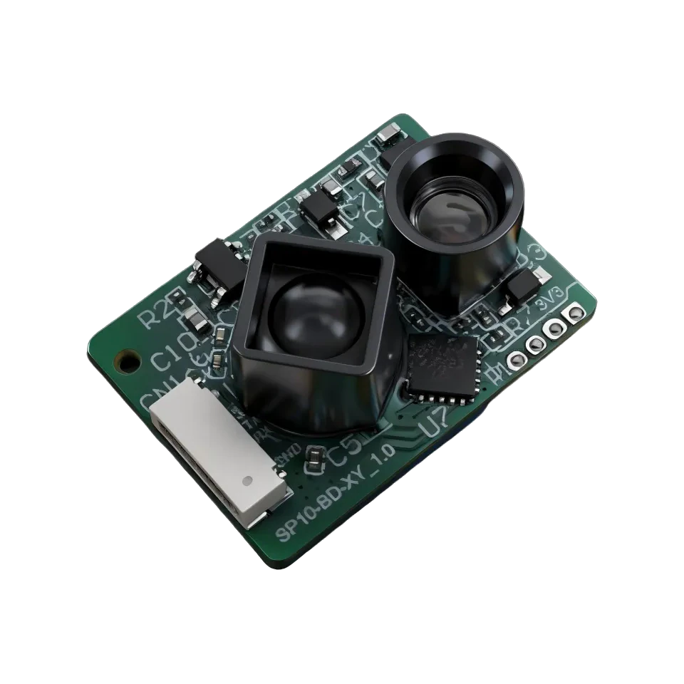
Short-range DToF
LRF22VB
Range0.05–20 m (90% refl.)
Accuracy±5 cm (<5 m); 1% (≥5 m)
Weight1.5 g
View spec sheet
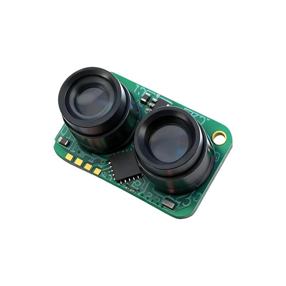
Short-range DToF
LRF50VB
Range0.05–50 m (90% refl.)
Accuracy±5 cm (<5 m); 1% (≥5 m)
Weight1.3 g
View spec sheet
Quote · LRF100H
Request pricing for the LRF100H
This module is preselected below. Add your quantity and platform and we'll come back with price and lead time within one business day.